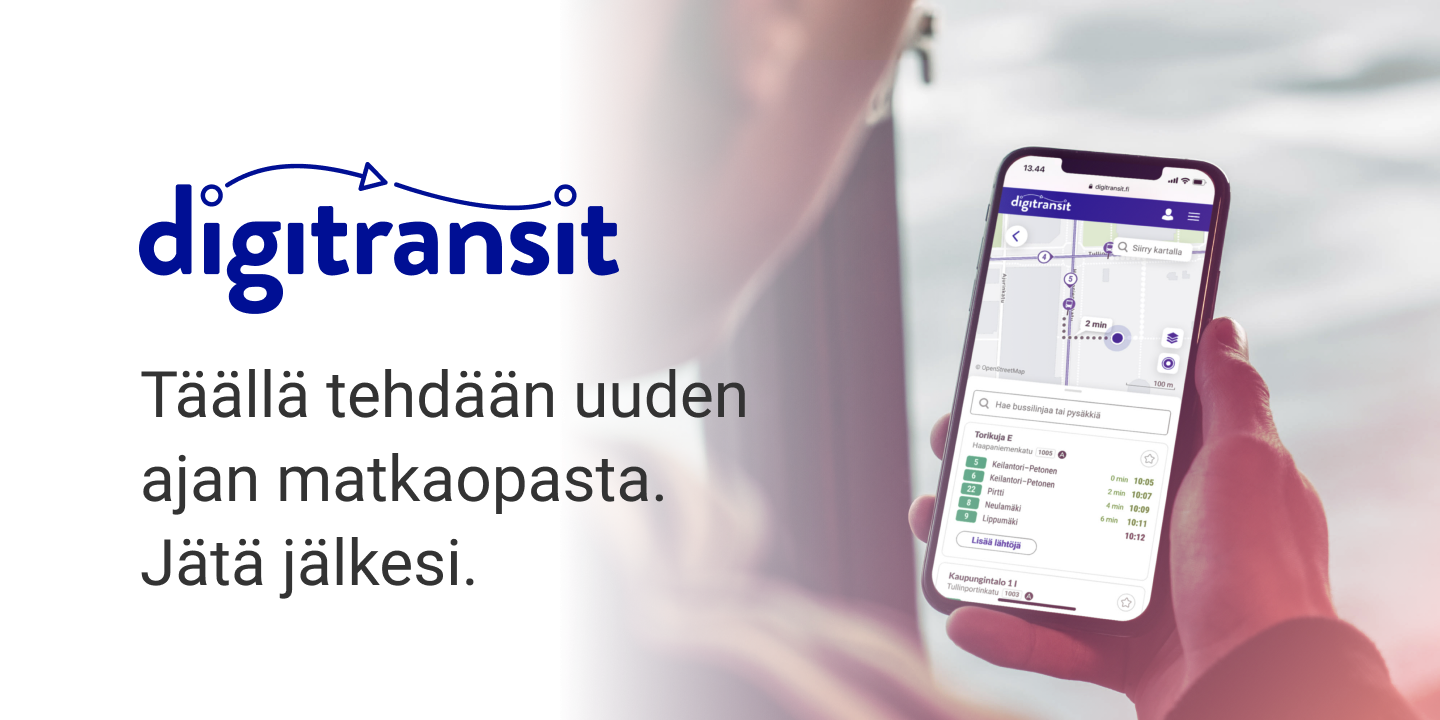
Public transport datasets are amazing, especially when they include the real-time position of each vehicle. Fortunately, a lot of cities and transport authorities are realising the value of this data and making it available through APIs. The linked dataset here is for real-time positioning of public transport in Helsinki — it’s one of the best.
High-frequency positioning | Digitransit
Most of the vehicles in the HSL area should publish their status, including their position, once per second.
The devices of the end users, e.g. smartphones, may subscribe to receive the relevant…

