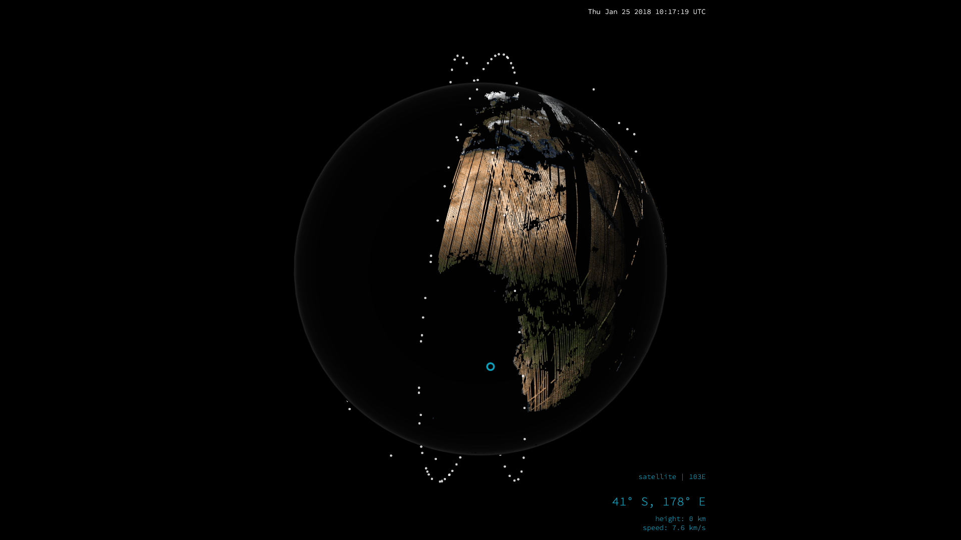
Ever wondered how satellite imagery is captured on a daily basis? This visualisation by Nadieh Bremer shows how Planet map the Earth in a single day using 600,000 images captured from their fleet of satellites. Outstanding work! 👌
I’d also recommend reading the companion page that details the make-up of the satellite constellations and what each type of satellite can do.
Imaging the entire Earth, every day
See how the Earth is slowly build up from each of the 600,000 satellite images taken by Planet’s satellites in a single day
 Imaging the entire Earth, every day