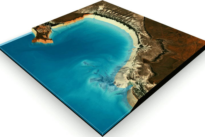
“Thanks to the Moon, the Sun, and gravity, the place where the land meets the sea is not a fixed line.” — a simple concept to understand, yet one which is often overlooked when reading a map. This article on the NASA Earth Observatory blog highlights an effort in Australia to map this mysterious inter-tidal zone in 3D using decades of Landsat data.
Mapping the Land Between the Tides
Harnessing 30 years of Landsat data, researchers have created the first three-dimensional model of Australia’s entire coastline.

