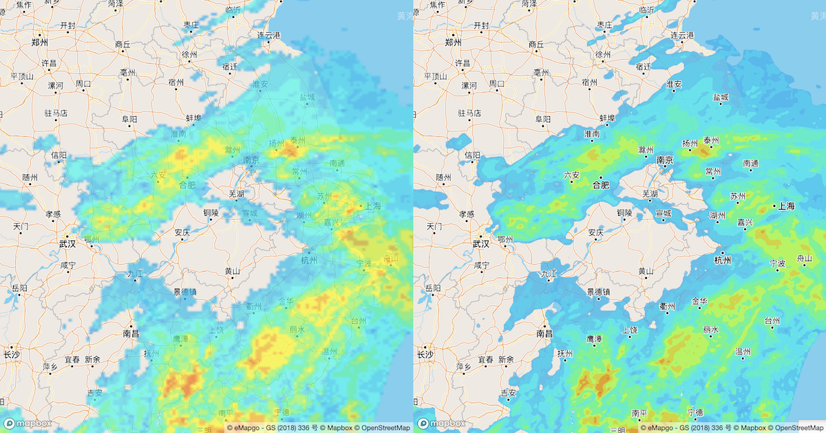
Normally when you hear of vector tiles you think of static data — buildings, roads, etc. One area which isn’t well documented with vector tiles is how to use them with temporal data, especially if it needs to be animated. This approach by Mapbox is brilliant in its simplicity — combining different frames of temporal data in a single tile and using filters to animate it in the map as desired. I’ll be trying this myself!
Moji Weather’s seamless animations with Mapbox GL
Moji Weather, the creator of China’s largest weather app, visualizes radar data, AQI (Air Quality Index), and other weather conditions with Mapbox GL for its Android and iOS apps. Radar data are…


